
Data for insights into mobility


.svg)
.svg)

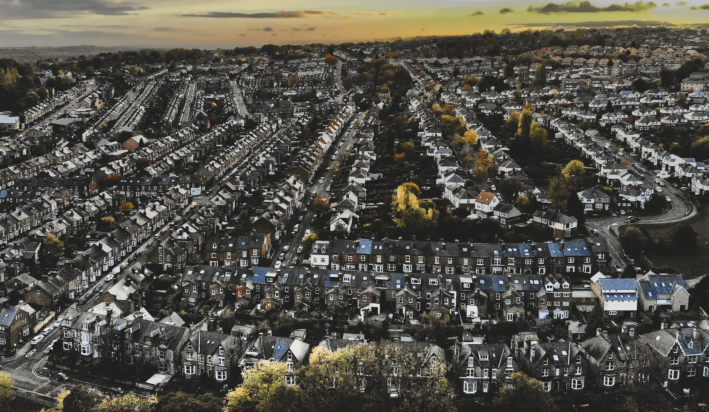
Transport planning dates back to the early 19th Century when the industrial revolution generated new demand for the movement of goods and people. Along with this movement, data has always being gathered in the form of traffic counts, vehicle type classification, and origin/destination flows. Such data is still used in transport planning today. In the 21st Century, traditional approaches to transport planning are giving way to a new mobilities paradigm. This approach challenges us not to think about transport in neat categories, whether those be trip purpose or travel mode. Instead, it invites us to think about the complexity and interconnectedness of how humans, goods, and information move around (and also who and what is not moving).
Understanding mobilities requires us to move beyond traditional sources of data. Fortunately, we have seen the increasing datafication of the person. Wherever we go and whatever we do we generate digital footprints or smart data. Here at the Urban Big Data Centre (UBDC) at the University of Glasgow, we analyse these footprints to better understand a world on the move.

Take a simple example, if you travel around most towns and cities in the UK, you will find yourself captured by CCTV cameras. These systems are usually intended for community safety. However, they spend most of their time idle. Rather than let these assets go to waste, we have worked with Glasgow City Council to extract data from them. Every 30 minutes, dozens of cameras around Glasgow swing to a predetermined position and take a photograph. Object detection methods are then used within the secure CCTV environment to analyse the image and extract counts of what is there before destroying the image. This provides data on how many pedestrians, cyclists, cars, buses etc. are in different parts of the city. It greatly expands the mobility data available to the council at minimal extra cost. The approach can also be extended to analyse video, allowing us to follow people’s trajectory through a space and understand how they use it. We hope to expand this system to other cities where CCTV is in use.
Perhaps one of the most transformative sensor networks has been introduced by the rise of the smartphone. It is estimated that around 90% of people in the UK have a smartphone. The devices are increasingly capable of gathering rich location information throughout the day. There are a number of ways for planners and researchers to benefit.
One popular source of mobility data has been fitness tracking apps. At UBDC, we have worked extensively with data from Strava, a fitness app that allows users to track a variety of sporting activities. The app is perhaps most popular among cyclists. Data on cycling has traditionally been difficult to gather or has lacked detail but apps like Strava let users log and share their journeys. This enables planners to understand which routes people use, and which origins/destination pairs are busiest. This can help us track how popular cycling is over time, evaluate impacts of infrastructure, and plan new interventions to encourage active travel.

Data can also be gathered passively. Companies such as Huq aggregate location data from a variety of apps without the need for user input. This can give us detailed location data from a large number of people. At UBDC we have used this kind of data to derive origin/destination flows, traffic counts, as well as to monitor the use of green space. This type of data is still new, and its full potential has likely not yet been realised.
We can also think about combining new and traditional approaches to data gathering. UBDC has worked with TravelAI to collect a traditional household travel survey supplemented with data from TravelAI’s MyWays app. MyWays gathers continuous location data from people and uses the phone’s sensors to classify each trip’s mode. This gives detailed door-to-door information about people’s mobility. All the survey respondent needs to do is to install the app on their phone. Being tied to a survey allows us to know all the usual stuff we would want to know for transport planning.
Digital footprints offer many exciting opportunities, but also new challenges. Who is missing from the data? For instance, people who use Strava to log their trips are more likely to be male than the cycling population in general. If we use the data to inform policy, are we designing mainly for men? Informed consent and privacy are also important concerns. Location data is personal data and can be easily linked to other sources, potentially allowing the identification of individuals. How can the data be used to benefit society? We might also think about who owns the data, who has access to it, who has the skills to use it, and for what purposes.
But the use of data in transport planning is a rich source of information and one that has a vast amount of potential in accurately predicting how people will travel in the future.
Note: This article first appeared in 'Transportation Professional',
the magazine for the Chartered Institution of Highways & Transportation.
Latest news
Private renting and the suburbanisation of poverty
One of the most marked changes in the UK’s housing system over the last 30 years has been the rise of the private rented sector (PRS). Many more low-income households now find homes in this sector.

Unveiling the variability in public transport services across Great Britain
From morning to night: Unveiling the variability in public transport services across Great Britain
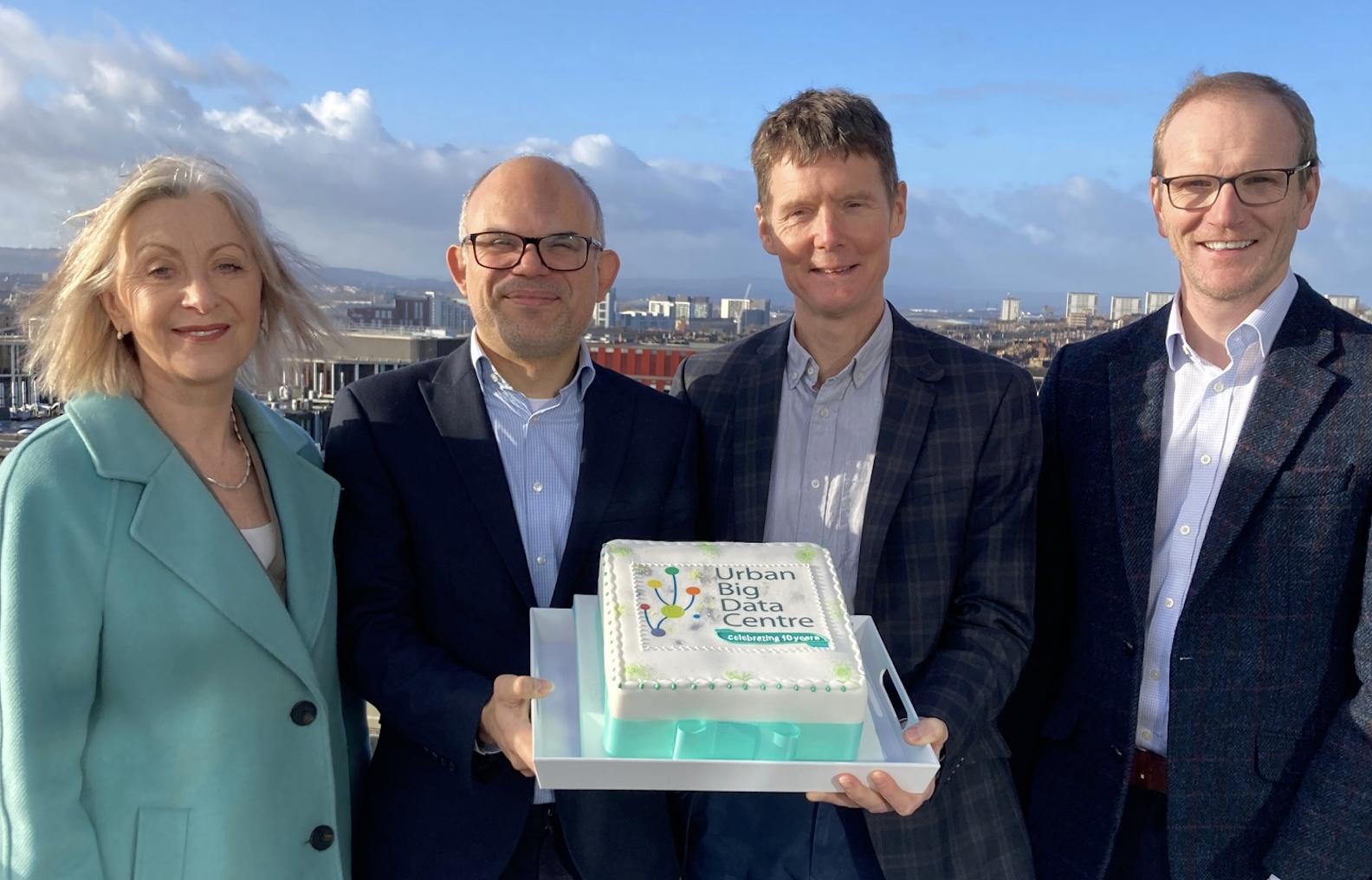
Urban Big Data Centre celebrates its 10th anniversary
The Urban Big Data Centre (UBDC) celebrated its 10th anniversary on 29 January 2024. Funded by the Economic and Social Research Council and the University of Glasgow, UBDC is a dynamic research hub and national data service, championing the use of smart data to inform policymaking and enhance the quality of urban life.
Jointly funded by


